


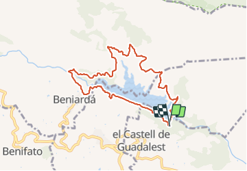

7.7 km | 11.5 km-effort


FREE GPS app for hiking
 SityTrail
IGN / Geographical institutes
SityTrail World
The world is yours!
Trail Walking of 9.4 km to be discovered at Valencian Community, Alacant / Alicante, el Castell de Guadalest. This trail is proposed by andre.forthomme@gmail.com.
superbe et facile


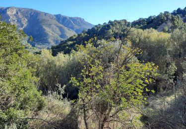
Walking